For today’s ride I let Strava help design something “new” while revisiting a climb we haven’t done since 2009. Wow. Hard to believe the last time I rode up Black Road was 2009. We rode up through the Los Altos Reservoir (the old quarry) using a different route than we’d done previously, headed through a too-crowded Rancho San Antonio park (beginning to think it’s not worthwhile riding through this anymore), the crazy maze along the foothills of Cupertino (avoiding the busy 4 lane roads) and finally Saratoga/Los Gatos road, stopping for lunch at the Farmer’s Market in the Los Gatos town square.
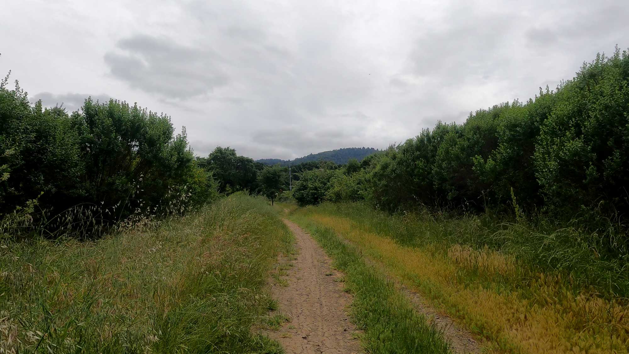
And here’s where it gets not-so-fun for a bit. How do you get up to Black Road, which starts at Lexington Reservoir, without riding up Highway 17? There still appears to be only one way, and it’s not a whole lot of fun on a road bike. It starts out not-so-bad but deteriorates before you get to the dam, then you have a brief respite on the paved zig-zag up the face of the dam. And you think great, you made it, no issues! Your Strava-designed route now puts you on a bike path that’s parallel to 17, next to the lake. But look at the photo above. Bike path? Kevin and I stared at this for a bit, thinking it must be wrong, there must be a different route. Well, no. You have to cross 17, and there’s no way to do that without heading up this path for half a mile or so.
I really don’t understand this. Highway 17 would require some pretty heavy work to install a safe shoulder for bike use (and, by the way, it is legal to ride a bike on Highway 17, it’s just not a very good idea due to significant sections with no shoulder at all), and the current parallel gravel path certainly gets enough use to justify being paved. But that top section, along Lexington Reservoir? That’s a cruel joke. You get there and really can’t believe that’s what you’re directed onto.
But we got through, no flats, and headed up Black Road. I’ve been up it maybe 4 times previously, although just once since Strava began, back in 2008. The grade varies between about 9 & 17%, and I found I’m doing OK until it gets past 11%, at which point I start losing power. Not just speed, but actual power. Not sure why, but it’s a very real thing for me. Kevin, on the other hand… the steeper, the better. He just goes! This was the part of the ride where my Garmin told me that my joy is a serious business, and I wasn’t feeling that much joy at that time. However, I was able to just keep on going, never feeling like I was going to fall apart.
Black Road ends at Skyline; you keep climbing a bit more and then descend into Saratoga Gap (intersection of Highway 9 & 35), and at that point, you feel like home isn’t too far away (about 23 miles to go). Unfortunately we ran out of “good” weather after passing Page Mill, where we stopped to put on leg warmers and the lightweight rain jackets we brought with us, as well as long-fingered gloves. I will be so happy when we don’t have to worry about that!


