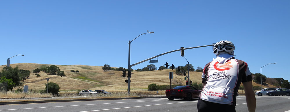

No big hills today; I decided it made sense to do an easier ride with Kevin, ahead of his first regular Tuesday/Thursday Kings ride in two months (tomorrow morning). I thought it might be fun to chart a loopy course from Woodside to our Los Altos store using roads less-traveled. So, instead of the usual run along roads that roughly parallel 280 and Foothill, we went “high” and tried the route shown on the map on the right. Click on the thumbnail for a large-enough image that you can see where it goes.
What we discovered is that there’s no connection between Oak Knoll Circle and Dawson Drive. A very close inspection of the map, something I obviously didn’t do when plotting out the route using BikeRouteToaster, does in fact show a “gate” symbol in the middle of the connecting link. Well, maybe. We didn’t even see a trail leading to a gate!
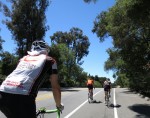
But no matter, it was still a fun ride on quite a few roads new to Kevin, and hopefully just what the doctor ordered for keeping him loose and wanting to ride more.


Next time you should go around that lake on Laura Ct and Stonebrook Dr.
You can get there from Moody via Tepa Way or from El Monte via Stonebrook.